
|
Velsen-North presented the most urgent Reconstruction task |
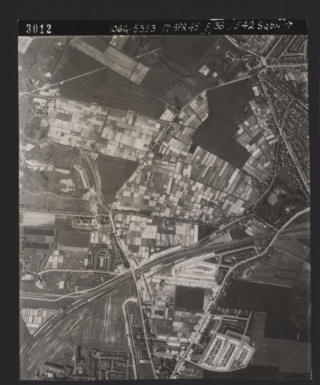
Velsen-North presented the most urgent Reconstruction taskIn the city of Velsen, Velsen-North presented the most urgent Reconstruction task. Economically, it was a strategically located part of the city. From Velsen north one had quick and easy access to large local industries such as the steel mill [Hoogovens], the Van Gelder paper factory and the PEN electricity generating station.
Immediately following the war, some 150 temporary homes were built by the PEN electricity generating station using rubble from homes destroyed during the war. Implementation of the actual Reconstruction Plan got underway in 1948-1949. This was the De Schulpen district, located to the east of the old Beverwijk – IJmuiden East railway line. Because of the time pressure, it was important that several architects could work on the various components of the plan simultaneously. The architects were free to make their own architectural choices. There was room for both modernistic and traditional designs, which, for IJmuiden, involved largely one or two-story buildings, both single family dwellings and apartments blocks. Often this would be linear construction with pitched roofs. The plan’s backbone was the existing development along the road Wijkerstraatweg, the old road dating back to the Middle Ages that ran from the old village of Velsen (Velsen-South) to Beverwijk. Perpendicular to this road, the Reconstructionists designed two green axes running from west to east, the Stratingplantsoen [Strating Public Gardens] in the west and the Meerweidenlaan [Meerweiden Avenue] in the east. These are the defining components of the plan. |
|
|
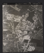
RAF aerial photograph
Source: Bibliotheek Wageningen UR, Speciale Collecties, 168 I 3012 |

|
- Maps

-
legenda
 Extant German emplacements
 Sea front
 German emplacements no longer present
 Anti-tank wall no longer present
 Anti-tank wall still present
 Anti-tank ditch still present
 Demolition zone
 Land front no longer present
 Land front still visible
 Special object
 Levee/dike in 1945
 Barbed wire fence
 Dunes
Dunes
 Evacuation zone
 Coastline in 1945
- punten op de kaart


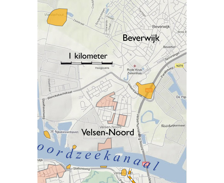


Oostelijk van de Wijkerstraatweg
Stratingplantsoen
Kanaalkade Velsen-Noord
Noodwoningen arbeiders Hoogovens
Interview de heer De Zeeuw
Wederopbouwplan Velsen-Noord