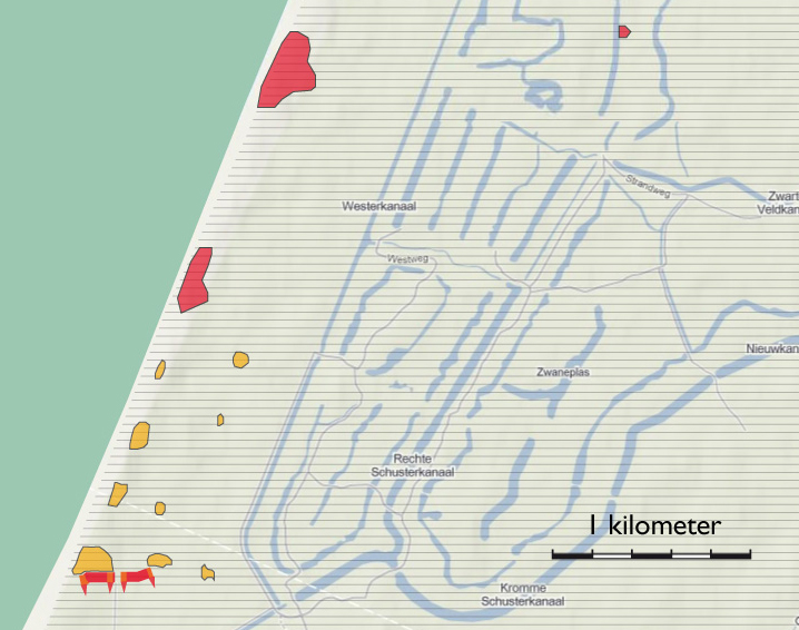
- toelichting
- Clarification
- Clarification
- Clarification
- Clarification
- toelichting
- Toelichting
- toelichting
- toelichting
- Clarification
- links
- Maps
- Map section IJmuiden - Zandvoort
- Map section Zandvoort
- Map section Waterleidingduinen
- Map section Waterleidingduinen - Zuid
- Map section Zandvoort - Katwijk
- Map section De Zilk
- Deelkaart Clingendael
- Deelkaart Kijkduin
- Deelkaart Meyendel
- Deelkaart Scheveningen
- Deelkaart Wassenaar
- Deelkaart Wassenaarseslag
- Map section Katwijk | Noordwijk
- Map section Katwijk Noord
- Map section Katwijk
- Map section Zandvoort - Katwijk
- Map section Zandvoort
- Map section Waterleidingduinen - Zuid
- Map section Waterleidingduinen
- Map section De Zilk
- Map section IJmuiden - Zandvoort
- Map section Huisduinen
- Map section De Kooy
- Map section De Donkere Duinen
- Map section Haven
- Map section Julianadorp
- Map section Zanddijk | Julianadorp
- Map section IJmuiden | Velsen-Zuid
- Map section oud-IJmuiden
- Map section Hoogovens
- Map section Beverwijk | Velsen-Noord
- Map section Westkapelle
- Map section Domburg
- Map section Oostkapelle
- Map section Nieuw Haamstede
- Map section Westerschouwen
- Map section Kop van Goeree
- Map section Ouddorp
- Map section Goedereede
- Map section Voornes Duin
- Map section Oostvoorne
- Map section Brielle
- Map section Haringvliet
- Map section Hellevoetsluis
- Map section Monster
- Map section 's Gravezande | Naaldwijk
- Map section Maasdijk
- Map section Waterweg
- Map section Waterweg | Hoek van Holland
- Map section Valkenburg
- Map section Berkheide
- Map section Noordwijkerhout
- Map section De Dennen | Den Hoorn
- Map section Freie Küste Den Helder - Callantsoog
- Map section Callantsoog
- Map section De Hors | Den Hoorn
- Map section De Koog
- Map section De Mok
- Map section Den Burg
- Map section Eierland
- Map section Freie Küste Den Helder - Callantsoog | Oost
- Map section Oudeschild
- Map section Petten
- Map section Westerslag | De Dennen
- Map section Slufter | Vliegveld
- Map section Schagen
- Map section Bergen
- Map section Bergen aan Zee
- Map section Groet
- Map section Fliegerhorst Bergen
- Map section Schoorl
- Map section Castricum aan Zee
- Map section Bakkum | Castricum
- Map section Egmond a/Zee | a/d Hoef
- Map section Heemskerkerduin
- Map section Egmond Binnen
- Map section Breskens
- Map section Dishoek Koudekerke
- Map section Koudekerke
- Map section Rammekens
- Map section Vlissingen Binnenhavens
- Map section Vlissingen Nollebosch
- Map section Westkapelle
- Map section Middelburg
- Map section Afsluitdijk
- Map section Dorp
- Map section Duinen
- Map section Holwierde | Delfzijl
- Map section Hollum
- Map section Hoorn | Oosterend
- Map section Midsland
- Map section Kornwerderzand
- Map section Oost-Vlieland
- Map section Oosterend
- Map section Posthuys
- Map section Stuifdijkpad
- Map section Termunterzijl
- Map section Vlieland Midden
- Map section West-Terschelling
-
legenda
Extant German emplacements
Anti-tank wall still present
German emplacements no longer present
- punten op de kaart


Anti-tank wall along the southern edge of Stützpunktgruppe Zandvoort
Stützpunkt XXXLX Luftwaffe Funksende Anlage 'Zander'