
|
The east of Wijkerstraatweg |
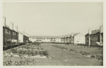
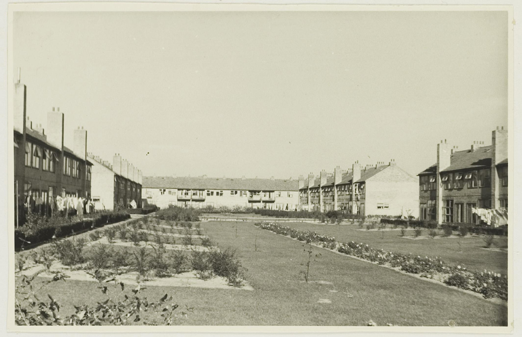
The east of WijkerstraatwegLight, air and space in the Reconstruction of Velsen-North – realization: 1948-49. This is the section to the east of Wijkerstraatweg. We are looking from the south, via the public green between Ladderbeekstraat and Schoonoortstraat, towards the road Meerweidenplantsoen, which runs perpendicularly. Such spacious open greens between long linear developments are quite characteristic of Reconstruction districts. Both in this region, the IJmond area, and elsewhere it is a frequent feature. See, for example, the urban renewal districts of the same period around the Kuenenplein in Beverwijk. Photograph dated 1950. Collection: Velsen Gemeentearchief [Municipal Archives] |
|
|
The east of Wijkerstraatweg
|

|
- Maps

-
legenda
 Extant German emplacements
 Sea front
 German emplacements no longer present
 Anti-tank wall no longer present
 Anti-tank wall still present
 Anti-tank ditch still present
 Demolition zone
 Land front no longer present
 Land front still visible
 Special object
 Levee/dike in 1945
 Barbed wire fence
 Dunes
Dunes
 Evacuation zone
 Coastline in 1945
- punten op de kaart


Oostelijk van de Wijkerstraatweg
Stratingplantsoen
Kanaalkade Velsen-Noord
Noodwoningen arbeiders Hoogovens
Interview de heer De Zeeuw
Wederopbouwplan Velsen-Noord